For this part of the project, we were continuing with the site investigation, but on a larger scale, taking into account the surrounding area, whether its above or below the ground.
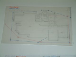
On our site there was a man hole, so as a group we decided to look into the drainage of the area and where the pipes under the man hole could take you. Also part of the river was on our site, so we looked into where the river starts and ends, looking at the different areas along the river route. Below is a floor plan of the Stanley Picker Gallery with the drainage marked on.
Below is the drainage system of the surrounding area, the red shows the foul water system and the blue shows the surface water drainage system. Our site is marked in yellow, the river is marked on the map as well.


